Running 20 minutes behind schedule as the metro passed the second station, I remembered the map.
That is, I remembered that I forgot the map.
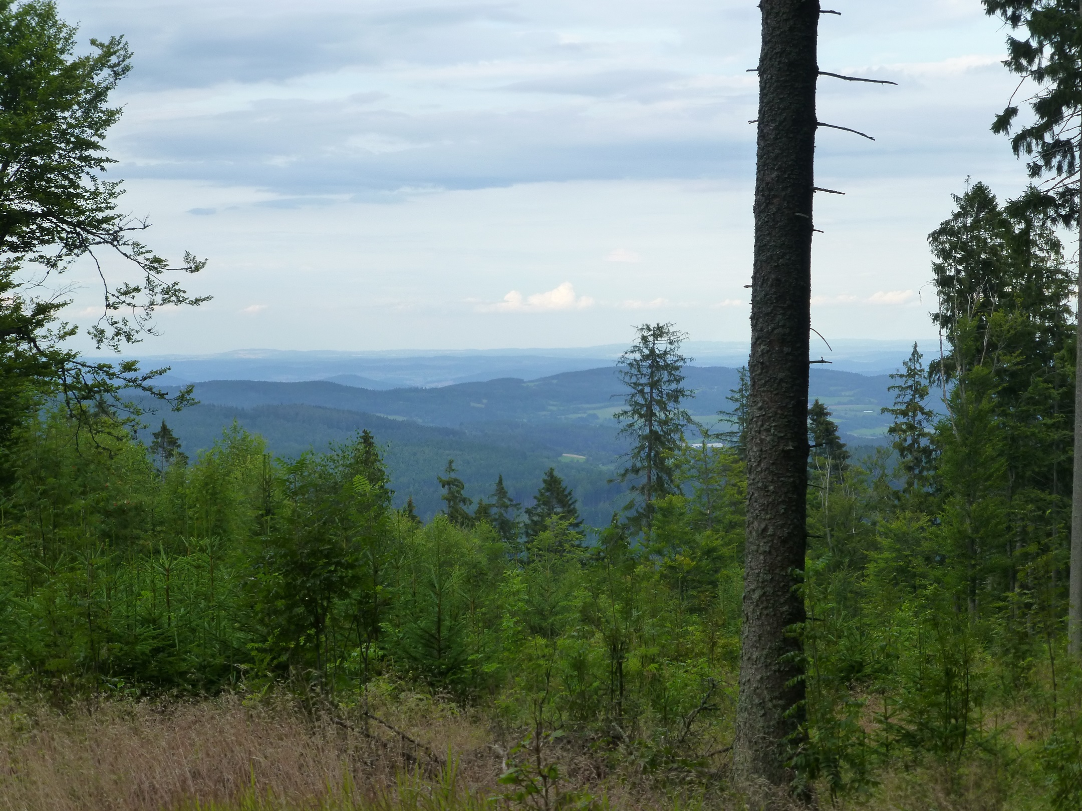
I was in Prague for a week as part of a summer seminar on classical liberalism in philosophy and economics, then leaving for Brno until November. Before I caught the bus, I realized I had Saturday free, and wanted to leave the city. Persuading some friends, I arranged a 15-km hike in Šumava National Forest along the German border. Šumava is called the “Green Roof of Europe,” as it connects to the Bavarian Forest in Germany to create the largest area of protected forest in Europe. In the summer, locals forage the area for mushrooms and various herbs.

Hoping that another map would turn up en route, we piled in a van and set off. The 2 1/2 hour drive from Prague to Churáňov is filled with villages, towns, and calming views of hills or an occasional lake. Seeing the Czech countryside by train and car, it isn’t terribly diverse, but it’s almost universally charming and pleasant. Repetition is its worst feature, which is an asset.


We stopped in Katovice on the way, as a friend’s bladder demanded a detour. It would’ve been unremarkable, except for a (superior) Czech version of a honey bun at the grocery store, and a memorial stone marking the day when General Patton liberated the town May 6, 1945. The Americans didn’t push much farther than southwest Bohemia and Plzeň, but it’s still commemorated in a few towns across the region.

After finding a map in Strakonice (buying it through charades and mispronounced Czech), we arrived in Churáňov and plotted the hike (again). The trail took us across three small mountains, through a village, and, as we discovered later, a cow pasture where the bovines do not appreciate passers-by. Utilizing the green, blue, and red trails, we constructed a 15-km loop.

The problem in Churáňov, despite the map, was finding the trailhead. Asking a local won’t be helpful unless you bring a German phrasebook: In the former Sudetenland, it’s more common than English. For the trailhead, walk past the Sporthotel Olympia and Penzion U Lencú into the forest. The trail begins by sloping upward until the top of Přilba (1,219 m), with pine forests enclosing on all sides.

Emerging from the forest, an electric fence separates the forest and a cow pasture, ski lifts lining the hillside. When dozens of steer came to investigate our presence, their horns menacing along with distrustful stares as they lined up behind us to prevent our escape, the paranoia could only be distracted by the northwestern view.

Hoofing it off the hillside and into the village of Nové Hutě, the main road led us past a church, cemetery, and some restaurants and penzions. It’s a nice, albeit early, spot for a drink or snack. The trail then loops Pasecká slať, a peat bog, and curls around Nad Pasekou (1,041 m) to retreat again into the forest. At one point, before Hrb (1,074 m), the trail passes what appears to be a bunker. Information online is scarce, but apparently, they date to the first Czechoslovak Republic, a defense network built in the late 1930s. They’ve since served as habitats for various species of moths.

At Hrb’s peak, a badger statue has a few medical supplies and a notebook to record your visit.* A long stretch through the forest and the steep hike up and down Výška (1,117 m) returns you to Churáňov.
When hiking in the summer, boots, water, snacks, a map, and a compass should cover the necessities. Don’t count on cell reception. And don’t be foolish enough to think a map superfluous; while trails are well-marked, the map is only 79 CZK (<$4), and national forests aren’t nice places to know after sunset. We finished the loop in 6 1/2 hours taking a moderate pace (2-3 km/h with a 45-minute stop in Nové Hutě).
Lonely Planet’s 2010 guide (Czech & Slovak Republics) was a greater asset than their 2012 version (Prague & the Czech Republic). Per the 2010 guide, Sumava and Czech Mountains are useful sources for information in English. Czech Mountains also gives recommended routes and webcams of different areas. The two routes highlighted from LP 2010 are the Bear Trail and Povydří Trail, both about 14 km long; Bear Trail is the oldest in Šumava, and Povydří is supposed to be “easy and scenic.” Most foreigners to the Czech Republic won’t make it out of Prague (I didn’t until my fourth trip), so it makes sense for a guidebook to focus there and eliminate the rest. Regardless, more visitors should see the rest of Bohemia. If you’re restless in the city, Šumava is a great day trip to escape the hectic pace and crowds of Prague.
*Before the top of Hrb, if you veer off the trail northeast through the trees, you’ll find another great view looking toward Zdíkov.
